LiDAR Technology
Revolutionising Property Surveys with Cutting-Edge 360° LiDAR Technology
We’ve recently invested in state-of-the-art survey technology—along with specialised training—to enhance how we capture and document spaces. And we wondered… could this be of use to you?
As Architects, our expertise spans every stage of a construction project, but our skills also extend into areas you might not expect:
📌 Existing property surveys
📌 Condition & lease plans
📌 Property sales listings & marketing content
📌 Building completion records
📌 Tenancy handover reports & management plans
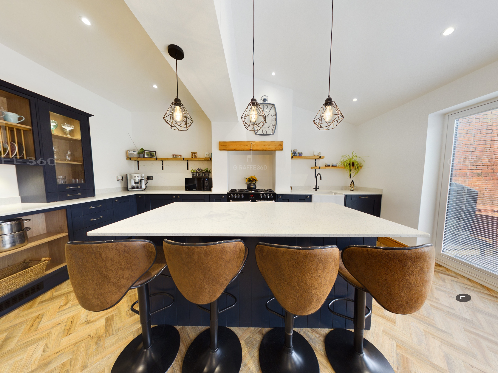
With our advanced 360° camera and built-in LiDAR scanning, we can create highly accurate (98%+ precision) floorplans, HD images, and immersive 3D virtual tours—all with measurements up to 50m range.
🔹 Reduce the need for in-person site visits
🔹 Enable remote inspections & virtual tours for landlords and agents
🔹 Enhance property marketing with high-quality digital assets
Here’s an example of what we can produce:
https://lnkd.in/eXqKfJSX
If you’re a building owner, agent, or property professional and think we can support your projects, let’s connect!
PropertyTechSurveyingRealEstateInnovationLiDAR Architecture360VirtualTour